
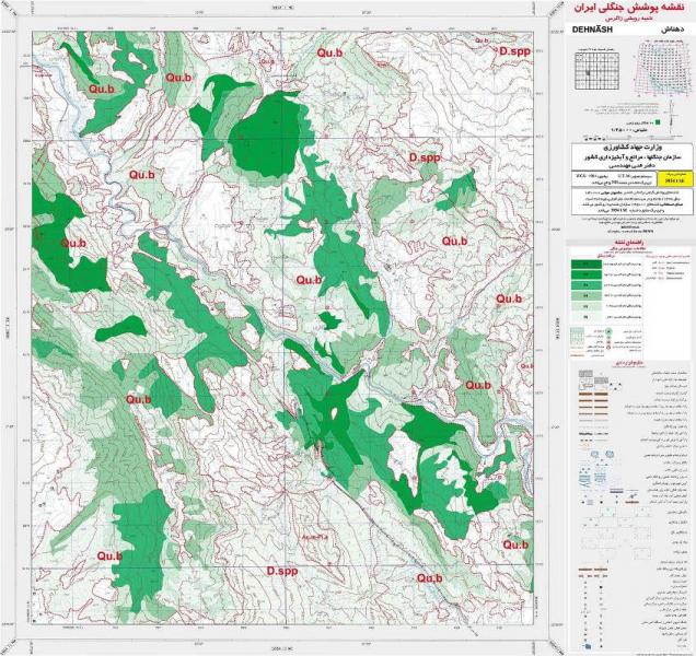
Forest Region Map of Lorestan Province With The Scale of 1:25000 using Areal Photos
Producing Forest coverage map of Lorestan Province at 1/25000 scale; Forest, Range & watershed Management Organization; Iran; 2008
We collected data on 7739 line transects all over the forest coverage. The transects started at the cross point of the UTM map's grid, with one kilometer distance from each other. Collected data were saved in the form of MS Access Database. Some of the descriptive statistical parameters such as total observations of each species, means, extremes, frequency histograms and others could help in better analyzing the niches of studied plants.
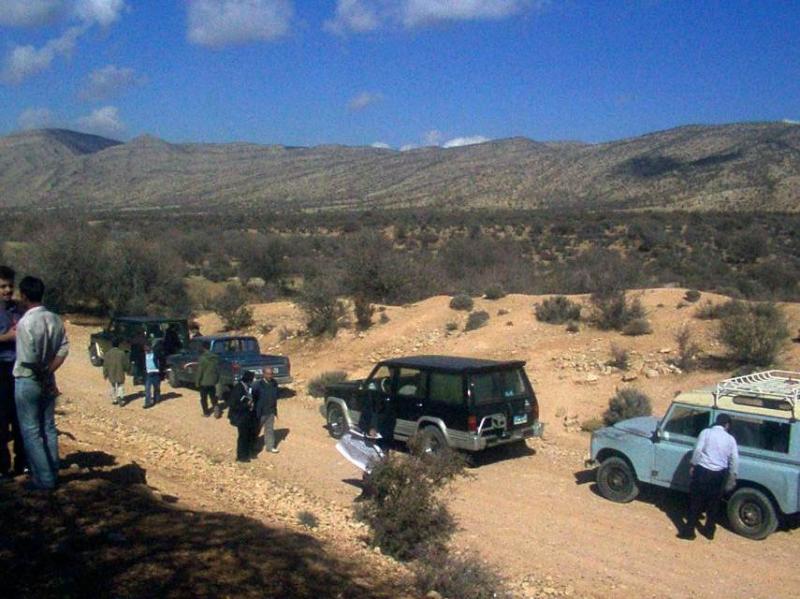
Projects with Industry